Do you want to know what people are think about that new town plan, do you want to ask peoples views on a new product, perhaps you are carrying out a straw poll or do you want to collect data to input into a scientific model? If the questions can be asked or surveyed, all you need is SurveyMapper.

The beta release of SurveyMapper, a free real-time geographic survey and polling tool from the nice people at the Centre for Advanced Spatial Analysis, University College London, is looking like it is only a few weeks away. If you have used other ‘polling sites’ then you will be up to speed, except we have taken away the restrictions and added real-time mapping into the mix.
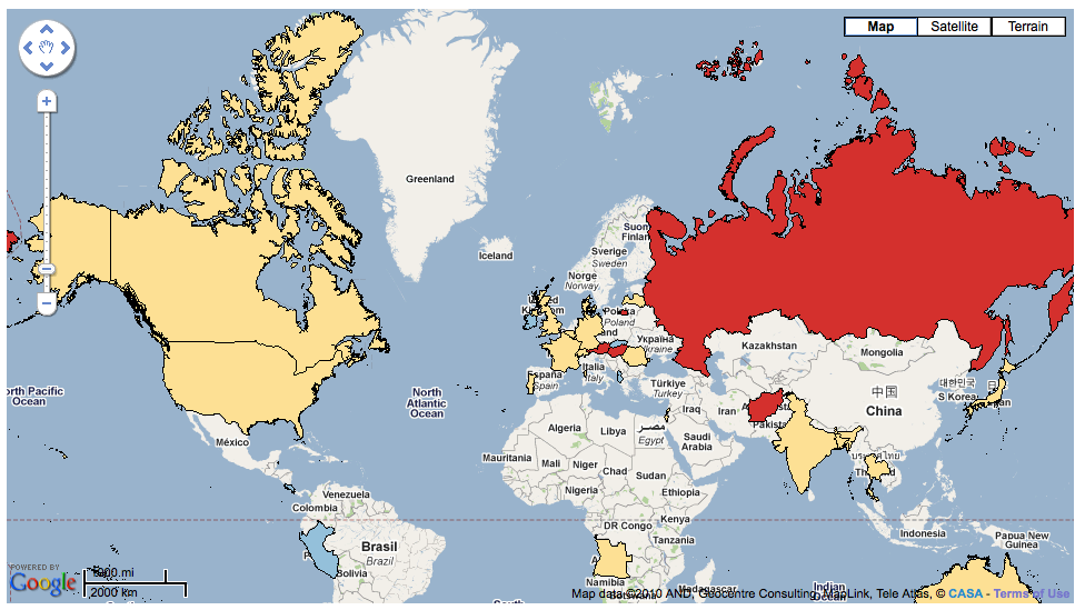
We currently have the UK covered down to postcode level (that’s the level of your street), the world divided into countries with a higher level of detail coming soon.
As part of the move towards Beta and allowing people to set up their own questions, we have created a test survey to find the worlds happiest nation (this allows us to test the global mapping function).

To take part head over to SurveyMapper.com and then select Current Surveys – thanks a lot if you do take part.
Keep up with the SurveyMapper twitter feed for news on the beta release, new features such as blog embedding, twitter voting and a preview of the coming soon professional version allowing advanced spatial analysis and demographic integration.
You can of course also follow us direct on Twitter @digitalurban.