Rapid Architecture – Lidar Movie

By Movies 10-20, Virtual London 2 Comments

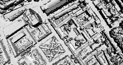
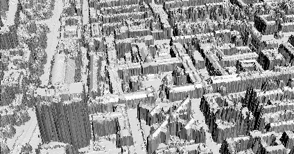
We are in the first stages of our work funded by London Connects to extend the London model to the cities extent. As part of this we are working with Raw Lidar Data (LIght Detection And Ranging) – take a look at Lidar.com for more info.

Using data provided by InfoTerra and software written in-house by Chris Parker we have been able to import the data direct into a 3D Modelling package and render a sample movie. Modelling utilising Raw Lidar data is a issue which is still in its early stages of research but it creates an interesting movie of the city as viewed by the scanner. More movies will be available soon.

You can view the movie here (4mb Windows Media Player format)

London Google Earth 1666

By Google Earth 1-10, Virtual London 5 Comments

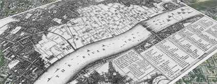
Adding to our first post on London in 1690 in Google Earth using image overlays we are now publishing London in 1666. The above image illustrates the layout of London in 1666 by Wenceslaus Hollar.

Hollar was appointed by the King to make exact plan and survey of the City after the Fire on London in September 1666. The fire destroyed 373 acres inside the city walls and 63 acres outside, 87 churches destroyed (including St. Paul’s Cathedral) and 13,200 houses.

Aligning historic maps is notoriously difficult – here we have aligned the road network and the north bank of the river to provide a overview of the City as viewed by Hollar.

You can download the kml file to fly into the overlay in Google Earth here

Close Menu

About Salient

The Castle
Unit 345
2500 Castle Dr
Manhattan, NY

T: +216 (0)40 3629 4753
E: hello@themenectar.com

Archives