
National Mapping Data with Google Earth

By Google Earth 20-30

The main area of the Virtual London model was developed in both ESRI’s ArcGlobe and Kinetix 3D Studio Max – largely by Steve Evans at CASA. We have now been able to export this data direct to Google Earth, allowing a rapid model of London to be visualised via the web with acceptable framerates.

There are issues with placement, most likely due to projection which needs to be addressed, but as a proof of concept it illustrates the ability to port highly detailed data to Google Earth.

Google Earth St Paul’s and Digital Elevation Model

By Posts

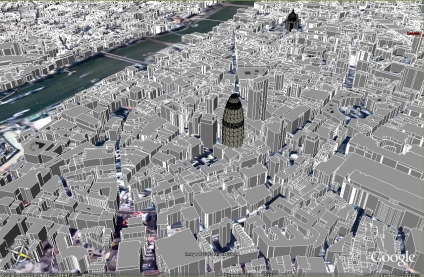
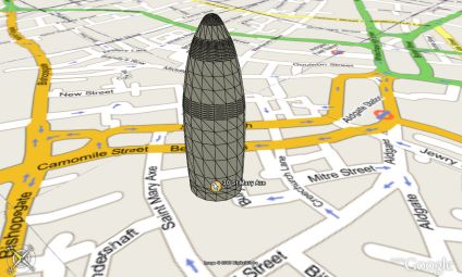
As part of our wider Virtual London work in ESRI’s ArcScene and 3DStudio Max we have a detailed model of St Paul’s Cathedral, London. However for visualisation in Google Earth low polygon count models are required, requiring the basic rebuild of the main London Landmarks.

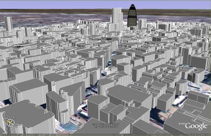
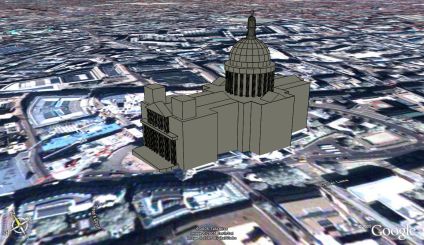
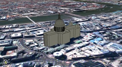
Pictured above and below is an optimised St Paul’s – a simple enough task but problems have arisen with the Google Digital Elevation model (DEM). St Pauls is located on a natural hill in London but the resolution of the DEM is not enough to compensate for the building size and structure.

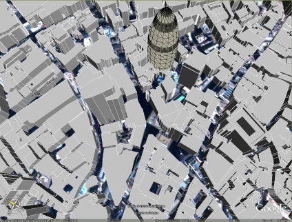
By default Google Earth drapes the models to the landscape, resulting in a model which slopes, losing the straight lines and introducing distortion. To get around this it can be placed absolute to the ground, resulting in a 11 metre difference between the front and the rear of the building – as it sits on a hill. This has been compensated for in the model but it throws out the actual building height relative to the skyline.

We have placed the model in Google Earth and a link is provided below to fly around the scene, although the issues of heights needs to be resolved at this present moment.

You can download the kmz file to fly into the model in Google Earth here (84k)

Google Earth Canary Wharf

By Posts

Modelled along the lines of the 30 St Mary Axe post in this blog are three buildings in Canary Wharf. The map overlay is currently imprecise, perhaps showing an error in the accuracy of Google Maps as the buildings load up in the dock with the Google Map view on.

You can download the kmz file to fly into the model in Google Earth here (50k)

Google Earth Model and Map Overlay

By Posts

A rapid model of 30 St Mary Axe in London with Google Maps overlayed in Google Earth. The air photography of London is low resolution at the current moment, thus the need to overlay the streets with imagery from Google Maps. The map placement is approx 5 metres out but it illustrates a good proof of concept. Google Earth is also rendering the edge profile the building, this should be sorted in a few days.

Thanks go to the overlay creator at Google Map Overlays

You can download the kmz file to fly into the model in Google Earth here (56k)

Close Menu

About Salient

The Castle
Unit 345
2500 Castle Dr
Manhattan, NY

T: +216 (0)40 3629 4753
E: hello@themenectar.com

Archives