With a 3D model it is possible to visualise the impact of sea level change. South London is built on marsh land and is thus more prone to flooding. We have produced a movie that illustrates sea level rise in metres. It clearly picks up the moat around the Tower of London within a metre increase and then follows on to flood most of the Waterloo/South Bank area of London. The movie below does not take into account flood defenses, merely a direct sea level rise.
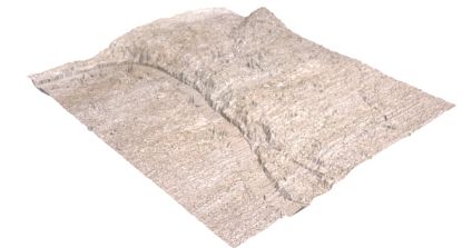
If we exaggerate the surface model of London in terms of height it shows clearly the reason why South London floods extensively compared to North of the Thames, as the image above illustrates.
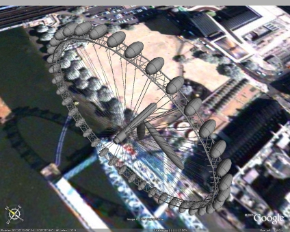
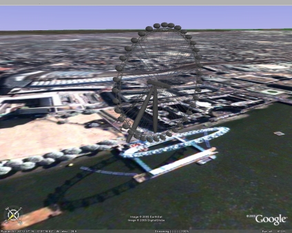
You can view the full Virtual London model via the links in the side menu..