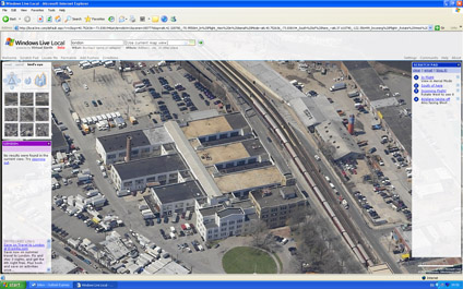
Microsoft's Live Local includes 'Birds Eye' images which provide various views around buildings. Its interesting in terms of views but compared to Google Earth lacks any interactivty or 3D Element.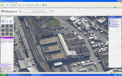
Therefore, using these images we thought it would be interesting to try and construct 3D Models from the data. Below displays an image from the output, you basically get a 3D model rendered out of the webpage screengrab. You could of course then port it into Google Earth....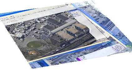
A Quicktime movie of the model can be viewed from here (8Mb).
3D Microsoft Live Local
Andy
CASA, UCL East
Recent
The Papers: The 2nd Album
Spatial Computing and the Phygital City: Towards Digital Habitation
Color Weather: A Data Watch Face for the Pebble Time 2
Fenland: A weeWX Dashboard with forecast verification, ensemble models, climate records back to 1940 and finally, that tween...
City Clock: A City where the People Tell the Time