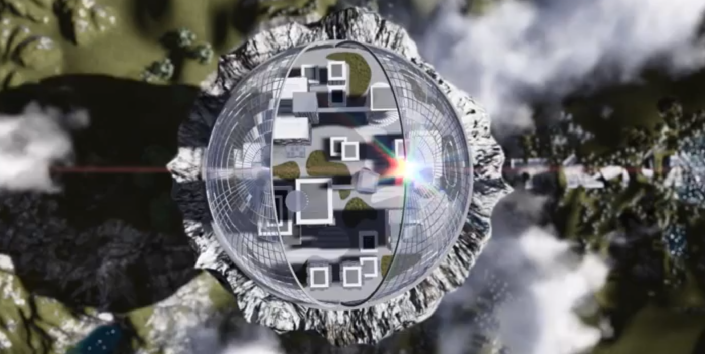
Flying Cities is a concept animation by Stefan Haberkorn – it is one of the best uses of Lumion we have seen so far. It goes beyond the normal architectural visualisation and makes good use of landscaping and volumetric clouds.
Flying Cities
Flying Cities is a concept animation by Stefan Haberkorn – it is one of the best uses of Lumion we have seen so far. It goes beyond the normal architectural visualisation and makes good use of landscaping and volumetric clouds.
Flying Cities
Lumion is one of the best rapid visualisation systems out there for architectural style rendering. Its ease of use and ability to create scenes complete with advanced sky and lighting effects make it perfect for urban visualisation. With the release of version 3 we thought we would take the free version for a test run.
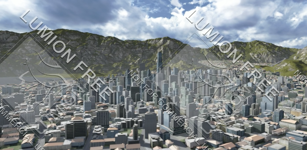
Lumion 3 fbx Import
With our recent post on Populate in 3D Max 2014 we thought we would take a quick look at Crowd FX in Softimage. CrowdFX is part of the Interactive Creative Environment (ICE) of Softimage allowing rapid pedestrian and stadium style simulations.
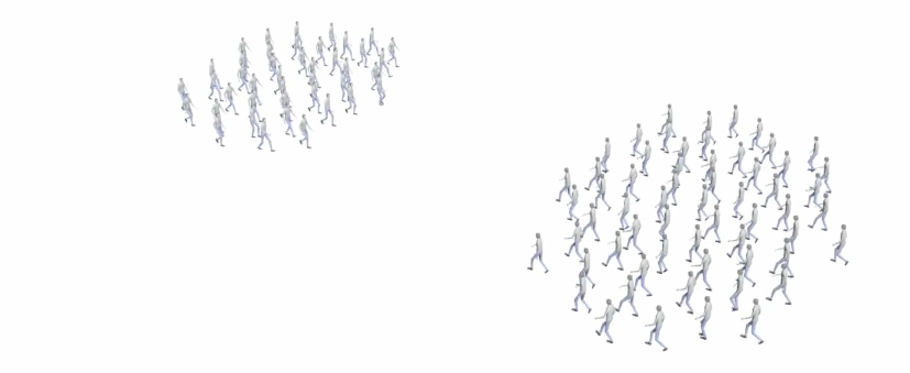
Softimage Crowd FX
Regular readers will know that we are big fans of 3D Max here at digital urban. The up and coming 2014 version has a notable feature for anyone interested in urban visualisation – the ability to add crowds to scenes.
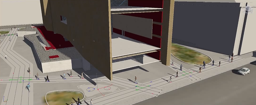
Example Screen Grab of Populate in 3D Max 2014