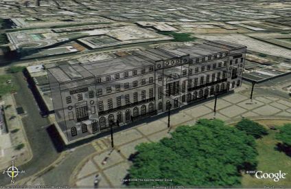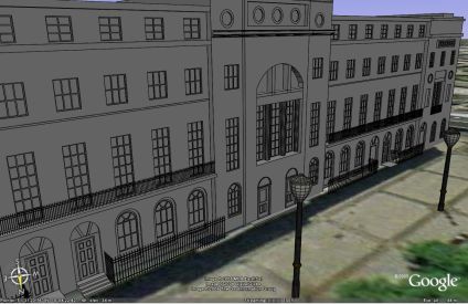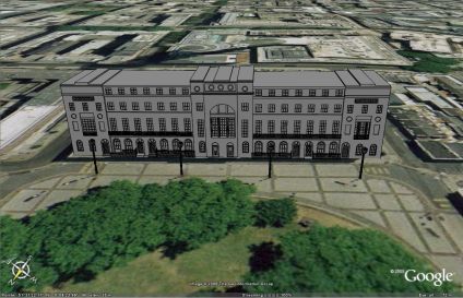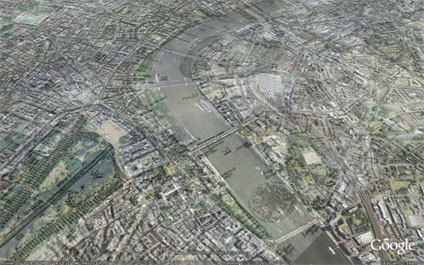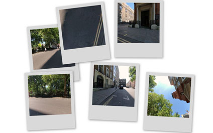
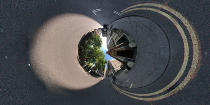
The panorama is taken outside of St Patricks Church in Soho Square, London. St Particks was one of the first Catholic churches established after the passing of the Catholic Relief Acts of 1778 and 1791.
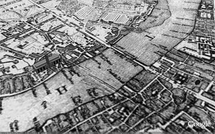
The area around the church was grazing farmland until 1536 when Henry 8th claimed the area as a royal hunting park. The first development took place around the 1600’s with Soho Square dating from 1681.
View the Quicktime panorama of St Patricks Soho Square (3.3mb).