Sometimes in a research lab you step back in awe at some of the research going on around you. The work from the team behind the new Simulacra blog from CASA is one of those moments, visualising the dynamic geography of the urban transport system:
The movie above details the public transport flows of London, it is interesting to note the bus network transition from night to day, the steady ‘pulse’ of the tube network throughout its service and the Stansted-Heathrow-Gatwick connection defined by the coach network.
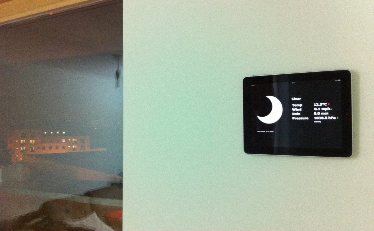
At the moment we are looking into ways to mount 6 iPads in the CASA office, home of digital urban. As part of our ‘Analogies’ grant we are looking at creating a portable exhibition space of urban research. Building on our recent iPad work on QRator, in association with Digital Humanities, we are looking to create a conversation and twitter system linked to artefacts. However, in the case of Analogies, the artefacts are part of the urban system, looking at flows, networks, simulacra and simulation.
Our first test has been using the PadTab Tablet Mounting System and we are impressed. Using a press on mount it is possible to slide an iPad on and off the wall. In a closed, monitored office space it is a quick and easy solution, the movie below provides more details:
Security is of course an issue when you move to a more public space, but for a first look the PadTab is perfect for the office.
UCL’s Grant Museum of Zoology is reopening on 15 March, allowing some of the rarest extinct animal specimens in the world to be displayed for the first time, but in contrast to the more traditional museum outlook, the new Grant has integrated iPads, QRCodes and twitter into the mix via a project known as QRator.
QRator is an iPad-based system that allows everyone to be a curator and share their views on an exhibition. Visitors can examine an object before leaving their thoughts about it on an iPad to create a digital, ‘living’ label that subsequent visitors can read and respond to. By downloading a free application to an iPhone or android phone, visitors will be able to see rolling updates to the digital label after they leave the museum, or via twitter.
We are horribly biased on this but we think the mix of iPads/QRCodes and Twitter represents a new step in models for interaction in museums. The iPads pull in unique twitter tags from the outside world, allowing the museum objects to be followed and conversations to take place beyond the museums walls.
QRator was developed with the Centre for Digital Humanities (thanks to Claire Ross), UCL Museums and in-house here in CASA (thanks to Steven Gray) with the idea behind digital signage linked to our wider project Tales of Things. The system goes live in beta tomorrow before a formal launch Thursday, we will have full details soon….